Map using drones case study
Visit https://goo.gl/jShk8a to see this project results.
Introduction:

The Silistea-Magureni field is situated within the Prahova County, at approximately 30 km to the WNW of Ploiesti City, in South East Romania. The acreage fully overlaps four mining companies, with six active mining licenses, and covers an area extent of 7.4 km2 in a hilly clay terrain with altitudes ranging between 334m amsl and 457m amsl.
The purpose of this survey is to gather factual evidence and support a more detailed study to understand the logistical, environmental, safety and commercial problems faced by an attempt to develop the hydrocarbons trapped in the rocks beneath the area.
Objectives:
The main objective of the Topographic survey is to clearly illustrate through a realistic 3D model how the area has been affected by mining works and to identify obstacles and objects that are not clearly observed from the ground. A 3D model will visually illustrate the technical difficulties and support the understanding of any implied HSE issues which would be encountered should Fora Oil and Gas attempt to operate on the surface of their license area.
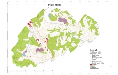
Following the acquisition and preparation of maps / images from the plan is to prepare a series of montages or images identifying or overlaying additional information such as: surface mining license areas, areas of open cast mining (active, abandoned), areas of slag or tailings, Subsurface mining galleries, location of preferred well to be drilled and the outline of the area in the subsurface which is considered hydrocarbon saturated.
Scope of Work (Provisional):
To some extent the scope of work must to be tailored to meet the objectives. While we consider that part of the scope of work and deliverables will include the acquisition of a photogrammetric mosaic using a UAV, hence this request for proposal. We would also like to understand what other services may be performed by the surveying contractor and to understand if there is a better way to achieve the objectives i.e. if not a photogrammetric mosaic, then what other survey product could be used.
Deliverables:
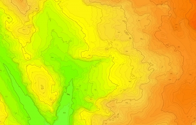
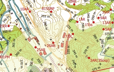
- Digital Terrain Maps (Topographic Map) with contour lines;
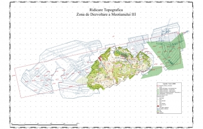
- Digital Terrain Maps superimpose on the underground mining galleries;
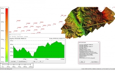
- 3D Model of the surface;
- 3D Model of the surface with marked position of wells;
- Elevation Digital Model;
- Support data for spatial planning;
- Oblique aerial images;
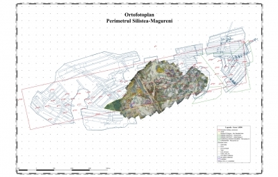
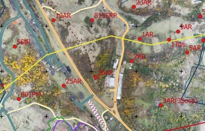
- Ortho photos.

