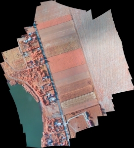
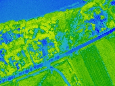
Aerial photography -agriculture and forest areas
APLICATION AREAS
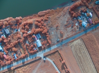
- Representations of influence of various factors on protected areas (roads, railways, cities, waterways, etc.)
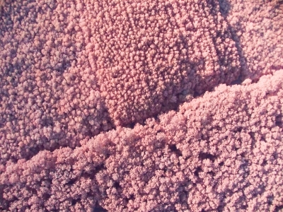
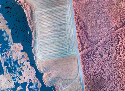
- Records in different spectral ranges (FIR, IR, visible)
- Census of certain species
- Diagnosis of health or stressed out vegetation
- Accurately determining the affected areas
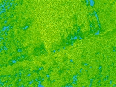
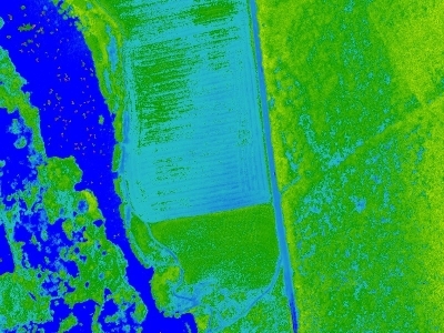
- Vegetation indices and more (NDVI)
- Data support for territorial planning
- Development stage of construction
- Thematic maps are based on theoretical principles applied in an ideal context. An example is the determination of the amount of water accumulated in regions of micro-relief. Another example is calculated based on the full effect of wind barriers in the region (mountain peaks and ridges, forests, valleys). These thematic maps can be carried out in all intermediate and final stages required to realize a study. This way, one can observe the interaction between the new elements on the field, interaction that could explain different phenomena (landslides, floods). Further analyzes can be made from data received by using a camera operating in thermal infrared spectrum.
- Thematic plans or the level of vegetation coverage by types of plants
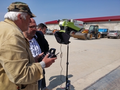
Agricultural services provided by FAE FOTO
-
Surveillance of agricultural crops
- Monitoring the vegetation phases and timely administration of the treatments
- plant density - Assessing the health of crops
-
Identifying areas affected by pests and weeds
- assessing the degree of infestation of crops with pests
- assess the degree of embryo and determine the optimal weed control moment -
Assessment of crop fertility rate
We deliver the following items:
- cartographic plans (NDVI)
- fertilization plans
- plans for treatment administration
Plans are delivered both in analogue and digital format, as well as in specific format for tractor GPS (shp)
Benefits of using drones in agriculture
- Optimizing resources (reducing water consumption, fertilizers, pesticides)
- Increased profit (you will get higher and higher production)
- Reducing decision time
- Increasing the sustainability of agricultural systems
- Effective fertilization

