Drone topography and agriculture price calculator

Drone aerial photogrammetry services for public companies and public institutions in the field of cadastre, agriculture and forestry.Centimeter accuracy is provided by GNSS RTK-PPK technology

Surface

of interest (ha)
Fill in the surface or move the slider below. For greater accuracy, click on the cursor and use the right-hand arrows to move it.


Distance

from Bucharest, on national roads (km)

Ground Sample Distance (GSD)

(cm/pixel)

Field of use


Topography - RGB - visible spectrum
Agriculture - NDVI - multispectral infrared analysis

Location

type of location of the land

Landform

terrain height gradient

by the topographer or by FAE

Process

you can choose whether you get ready-processed images (orthophotomaps, 3D dot cloud, digital elevation model)

The price evaluation presented here is indicative, without being a contractual obligation.

Get a discount based on the surface:

  • 1100-2000 ha: 10%
  • 2100-4000 ha: 15%
  • peste 4100 ha: 18%

To receive the offer by mail, please fill in the data and click the "Send" button

Name and surname:

Company:

Phone:

Email address:

Additional information:

Insert current date

Data to be extracted from the overflight:

  • Nadirale photos with geotag .JPG
  • processing, representing:
    • Ortophotoplan with / without level curves (.TIF)
    • 3D cloud of the digital model of the superfit, in Autocad format (.LAS)
    • Digital elevation model DEM - DSM (.TIF)
    • Coordinate inventory (stereo70 or ETRS89)
    • Activity Report (.PDF)

Photos are delivered in 24 hours. The price for areas smaller than 200 ha is the same as for an area of ​​200 hectares.

Processing takes up to one week after the flight, the results being delivered electronically directly from the company's FTP server.

For other types of processing - such as flood study, vectoring, vegetation filtering (DTM) - a quotation is required to be negotiated later.

Find us here

FAE fotografie aeriana si filmare aeriana pe facebook fae pe youtube, youtube demonstratii filmari aeriane, fae teste drone online, fae zboruri drone youtube

Contact

FAE FILM

FAE FOTO
Theodor Pallady 287, 4th floor
Inside I.O.R. 2
Bucharest, sector 3
Romania
+40 721 223 342
office@fotografieaeriana.eu

FAQ

  • What kind of a flying machine are you using ?
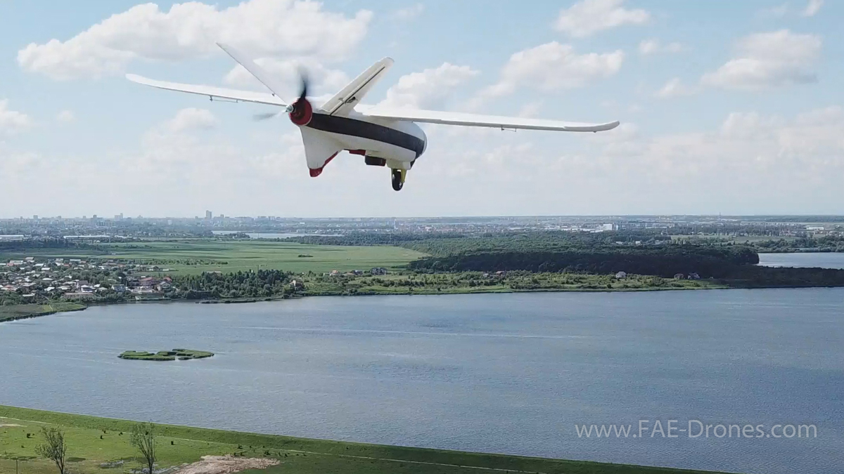
    We are using a professional aerial plane drone type for topography and agriculture FAE 1718 Fixed Wing - REBEL drone.
  • What cameras do you use for aerial photos ?
    Aerial photographs are made based on project with SONY Alpha A6000 camera or Mavic 2 Pro - Hasselblad Camera camera with brushless video stabilizer.
  • At what height can you fly ?
    Maximum altitude we can fly is 2000 m.
  • Can you offer aerial filming also ?
    Yes. FAE FOTO makes aerial filming.
See all questions »