Topographic deliverables from drone photogrammetry — FAE Drones
FAE Drones case study

Topographic deliverables from drone photogrammetry

Public examples of maps, orthophotos, contours, DEM/DSM products and photogrammetric vectorisation.

Method
Drone photogrammetry
Source data
Aligned aerial imagery
Terrain products
DEM / DSM and contours
Working data
Maps, orthophotos and vectors
FAE Drones technical archive

From aerial measurements to topographic deliverables

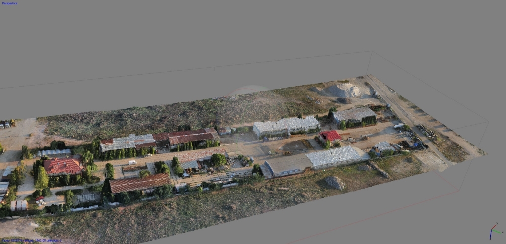
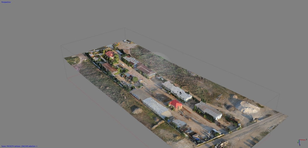
This selection brings together results obtained from photogrammetric surveys flown with FAE drones: maps, orthophotos, contours, digital elevation and surface models (DEM/DSM), and several types of vector data.

The gallery preserves all 19 plates from the original page. They come from several archive projects and are grouped into technical families: capture and 3D reconstruction, quarry terrain, flood analysis and mining-area mapping.

Processing chain

What different photogrammetric deliverable families can show

Each gallery group belongs to a distinct project context and shows which type of photogrammetric output can support a specific technical decision.

  • orthophotos for interpretation and digitisation of visible site conditions;
  • elevation models and thematic terrain representations;
  • contours and vector data prepared for CAD/GIS work;
  • camera geometry and textured 3D models for reconstruction review;
  • topographic sheets combining several layers in one coherent presentation.

These are archive examples. Structure, coordinate system, resolution and accuracy are specified separately for every new project.

Have the boundary? Get an instant quote.

Upload the KML/KMZ file and describe the required outcome. If not all technical requirements are defined, we will set them together before confirmation.