Case study inundability for real estate development
All the data delivered is in the UTM35N, WGS84 projection.
Visit https://goo.gl/hY72V4 to see this project results.
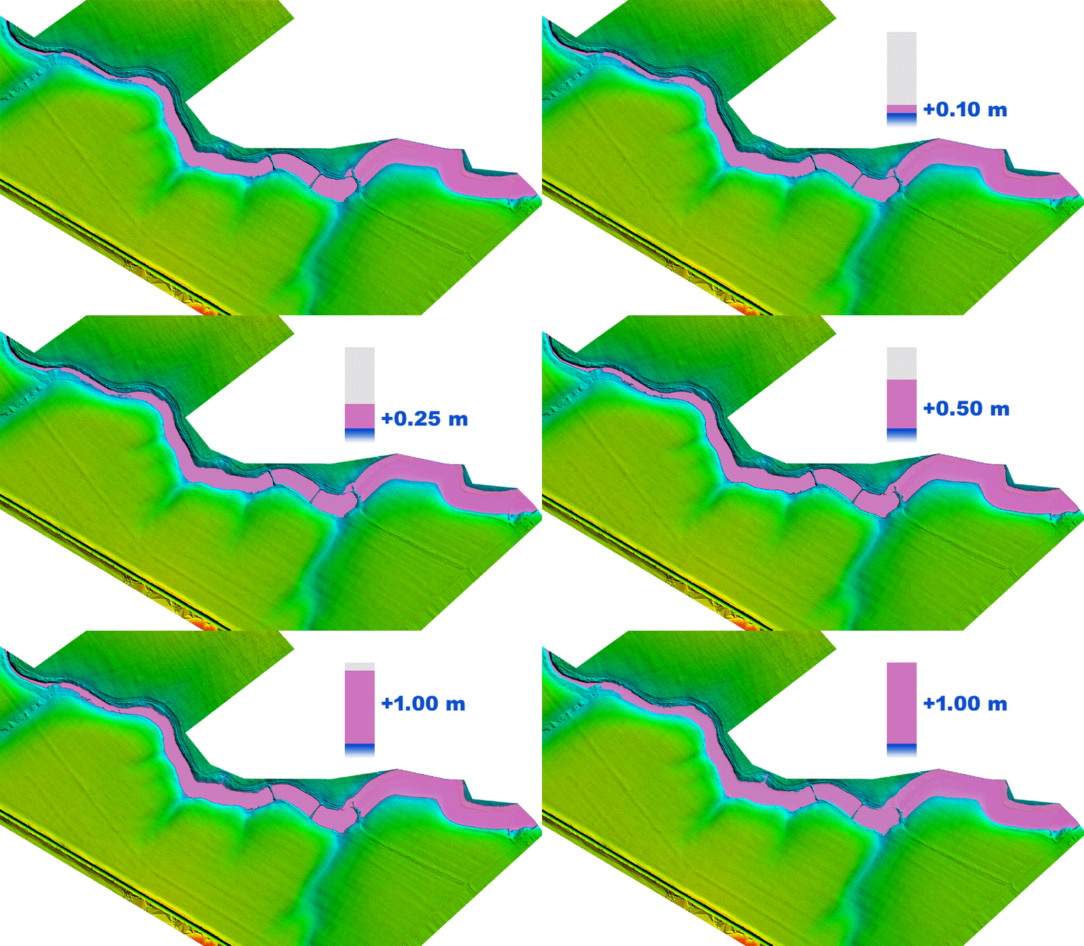
The delivered data is divided into 9 categories, each category being in a separate directory, as follows:
-
Contour_Lines : contains the level curves at 0.25m and 0.5m, formatfile, dxf and dwg.
-
Drainage_Network : Contains the water drainage network generated on the shape of the terrain in shapefile and dxf format
-
DSM: contains geotype surface pattern (grid 0.25 m)
-
DTM: contains the terrain model in geotiff format (grid 0.25 m and ASCII grid 1 m)
-
Flooding_simulation : contains flood simulations on 5 different water lifting levels (0.05m, 0.10m, 0.25m, 0.5m and 1m) , with both the DTM (grid 1m) and the Ortofotoplan (0.5m pixel size) base map.
The highest water level was recorded as 65.75 m, height that was taken as the basis for simulations (file Water_Base_65.75m.dxf )
In the folder you can find the 2 maximum water levels for simulations at 0.5m and 1m (dxf) ( Water_level_rise_0.5m-base65.75.dxf
-
Limit : contains the initial limit provided by the client as well as the high limit for data processing); both limits are delivered in dxf format.
-
Maps : contains the overall image of areas (orthophotomaps) overlying the level curves, spacing 0.5m . Also, there are 2 Topo maps, TIF and PDF, size A1 (sub-directory A1_format) at 1: 4500 scale.
-
Ortophoto5cm : Contains the referenced orthophotomel with a 5 cm pixel size, uncompressed TIF, natural colors (RGB).
-
Vector_data : contains vector data extracted from ortofotoplan for drawing topo maps
Ortofotoplan data accuracy is < 5cm RMSxy and for the terrain model (DTM) <10cm RMSz (with larger variations in the area of the forest and the marshes - Riparian areas)